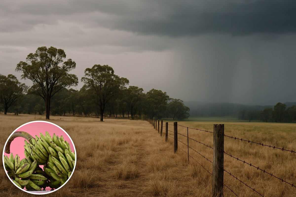
Queensland's spring weather has opened a sharp divide between a dry south-east and a cool, wet far north, where growers say persistent showers have slowed production and delayed flowering. Fresh ABC reporting on Saturday (10 October) describes how the Bureau of Meteorology linked weeks of northern showers to a coastal ridge, while much of the rest of the state missed out.
The contrast is clear in the bureau's September summary for Greater Brisbane. The Brisbane observing site recorded just 1.4 millimetres, or 5 per cent of its long-term average of 28.6mm. Most sites across Greater Brisbane had below-average rainfall, although the bureau's regional summary shows totals ranging from 2 per cent to around the monthly average.
Across Queensland, the bureau's statewide September climate summary recorded area-averaged rainfall of 3.8mm, 70 per cent below the 1961–1990 average. Rainfall was below to very much below average across much of the state, but above to very much above average in far northern areas. These are observations for September, rather than a forecast for the months ahead.
In the north, the ABC reported that Cairns Airport received just under 97mm during September against an average of 34mm, while Innisfail received up to 300mm, nearly three times its monthly average. Senior bureau forecaster Felim Hannify attributed the repeated showers to a persistent ridge along the coast, which also helped keep temperatures down.
The bureau's state summary recorded below-average mean maximum temperatures in parts of the Peninsula and North Tropical Coast, even as much of Queensland was unusually warm. Hannify told the ABC that Cairns Airport's average September maximum was 27.8 degrees Celsius, its coolest for that month since 1994.
Atherton Tablelands farmer Michael Coulston, who grows bananas, avocados and custard apples, told the ABC that cooler conditions had held back banana production and helped keep prices high. He said avocado flowering was noticeably late, with flowers remaining on the trees as he waited to see whether they would set fruit.
Innisfail grower Will Darveniza described a similar delay on his mixed horticulture farm. He told the ABC that wet conditions had slowed growth, delayed passionfruit flowering and affected pollination. His account links the weather to both the timing of flowers and the prospects for fruit set, rather than simply to rainfall totals.
Hannify told the ABC that similar cool, wet conditions were expected to continue in the far north through the rest of spring, before temperatures climbed from December as the wet season gathered pace. He said sea surface temperatures along the Queensland coast were already above average and expected to rise further over summer.
The bureau's broader October–December outlook, published on 2 October, describes a varied rainfall pattern: above-average rain extending into parts of Queensland later in the season, but below-average rain likely in parts of the far north and south-east. That national, three-month outlook covers a different geographic and time span from the fresh regional account. It also favours above-average daytime and night-time temperatures across almost all of Australia.
For Brisbane, the bureau's September observations show that most Greater Brisbane sites had warmer-than-average mean maximum temperatures alongside the limited rainfall. Far northern growers, meanwhile, described production and flowering delays during their cooler, wetter start to spring. The reports document markedly different conditions within the same state, with the local rainfall and temperature pattern central to each account.