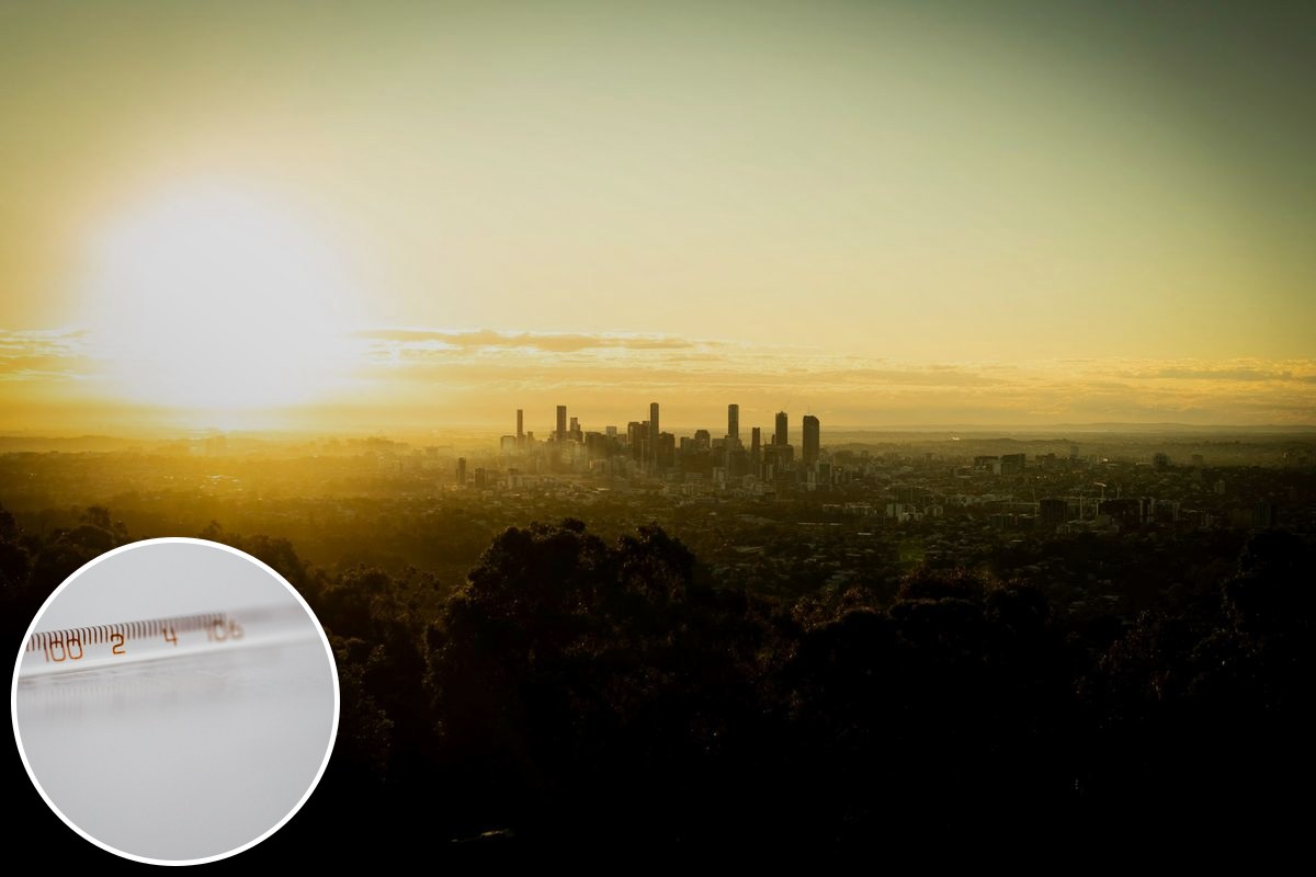
The winter that ends on Monday asked very little of Brisbane. Across the whole season the city registered just two maximums below 20 degrees, according to an analysis by ABC meteorologist Tom Saunders — and the week that opens spring is forecast to feel closer to summer, with Brisbane tipped to hit 31C on Thursday and Friday, about seven degrees above the long-term average.
The season closing out was exceptionally mild across the country's east, and further south it broke records outright. Sydney and Melbourne both recorded their warmest winter in Bureau of Meteorology histories dating back to the 1850s, and Canberra saw its highest ever winter temperatures. Brisbane's winter was not a record — but it barely resembled winter.
One comparison in Saunders' analysis puts the season in perspective for anyone who grew up here: Sydney's winter mean of 15.3 degrees, which ran 2.3 degrees above its long-term average, landed only a fraction of a degree below what Brisbane's winter climate looked like last century. The temperatures Brisbane once called normal for July are now, more or less, Sydney's.
What the weekend holds
The immediate forecast is gentler than what follows. Bureau of Meteorology senior meteorologist David Crocker told the ABC the weekend would bring conditions "quite warm inland and plenty of sunshine across the majority of the state, just a few coastal showers about in the usual places".
For Brisbane that means partly cloudy conditions with temperatures reaching the mid-20s, and a likely escape from the wet weather — though an isolated shower is possible on Sunday as rain moves across the Sunshine Coast. Westerly winds are then expected to carry warmer air from Central Queensland through to the coast next week.
Then the heat arrives
Spring opens on Tuesday with a burst of warm north-westerly winds across the south-east states, pushing temperatures about five degrees above normal on the first of September. In Brisbane the peak comes later in the week: 31C on Thursday and Friday. Saunders describes this week's heat as a likely preview of the rest of the season.
The Bureau's ACCESS-S model is forecasting the next three months could rank as the warmest spring on record across the southern states, with much of the south running two to three degrees above the 1981 to 2018 baseline. On the model's probabilities, there is a greater than 80 per cent chance southern Australia records maximum temperatures in the top 20 per cent of years.
The drivers, per the analysis, are a stack: natural variability and climate change doing most of the work, with an additional boost from an extreme El Niño event and a notable absence of cold fronts arriving from the Southern Ocean. The same ingredients that hollowed out winter are expected to linger through spring.
The caveats are the usual ones for seasonal forecasting. The record-spring modelling applies to the southern states rather than Queensland, the 31C days are a forecast rather than a certainty, and model probabilities are probabilities, not promises. The two-maximums-below-20 winter, though, is already in the books.
For the day-to-day picture as the heat builds, the Bureau's Brisbane forecast page carries the live seven-day outlook.